
Know theneighbourhoodbefore you buy.
Medians, rent, yields, growth, schools, crime, flight paths and development — every signal that matters, on one cinematic map of Australia. Built on Australian government & ABS open data.
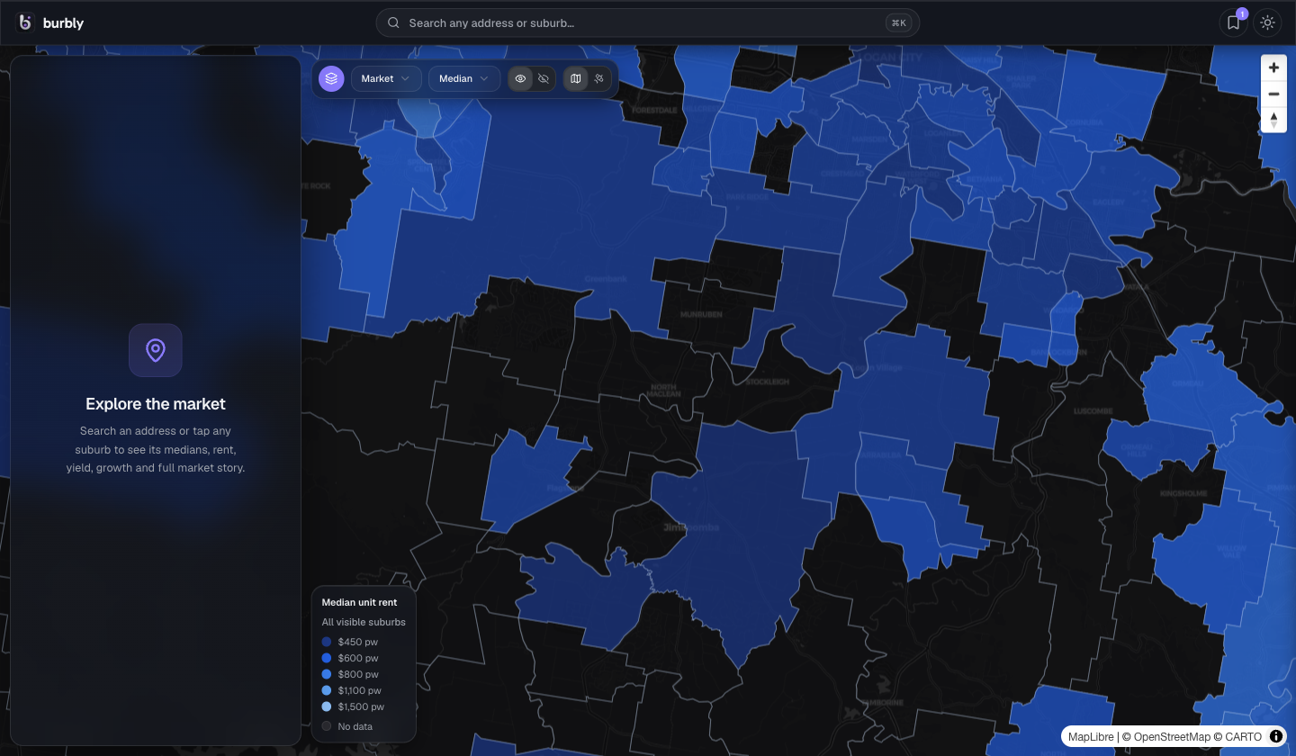
Every listing shows you the house. None of them show you the neighbourhood. The signals that decide whether a suburb is right — prices, rent, yield, schools, crime, flight noise, what's being built next door — sit scattered across a dozen government portals. burbly draws every one of them onto one map, so you can read a suburb the way a local would.
Everything that movesa decision, layered.
Built on Australia'sopen-data backbone.
Government and ABS open data is the legal, nationwide foundation — medians, sold history, demographics and boundaries for every state and territory. Portal facts layer on top, on demand. Nothing breaks when a single source does.
- 01ABS Census demographics
- 02Suburb median & sold history
- 03State crime statistics
- 04School catchment boundaries
- 05Development applications
- 06Aircraft corridors & traffic profiles